
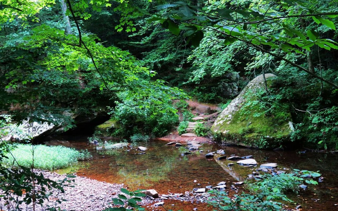
Mark Twain National Forest covers about 1.5 million acres across 29 counties in southern and central Missouri. It is not one continuous block of land. The forest is spread across several separate areas, so a little planning goes a long way.
Check conditions before you leave
Trail closures, fire restrictions and high water can change quickly. Check the official Mark Twain National Forest website for current alerts before every trip.
Download your maps
Cell service is spotty in the Ozark hills and hollows. Download offline maps to your phone and bring a paper map, especially for wilderness areas where trails are lightly marked.
Camping options
You can choose from developed campgrounds with restrooms and water, float camps along the rivers, or dispersed camping in much of the forest. Some campgrounds can be reserved ahead of time on Recreation.gov, and some day-use areas charge a small fee.
Stay safe
- Carry more water than you think you need, especially in July and August.
- Check for ticks and chiggers after every hike in warm weather.
- Never cross a flooded low-water crossing. Ozark streams can rise fast after heavy rain.
- During fall hunting seasons, wear blaze orange on the trails.